


70 km | 82 km-effort


Optez pour le retour à la nature GUIDE+


FREE GPS app for hiking
 SityTrail
IGN / Geographical institutes
SityTrail World
The world is yours!
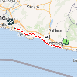
Trail Walking of 11.1 km to be discovered at Vaud, District de Lavaux-Oron, Saint-Saphorin (Lavaux). This trail is proposed by My Switzerland.
Cycle

Other activity

Walking
Walking
Nordic walking
On foot
On foot
Walking
Other activity
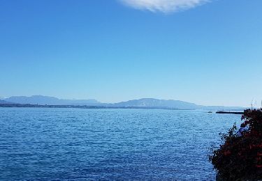
magnifique